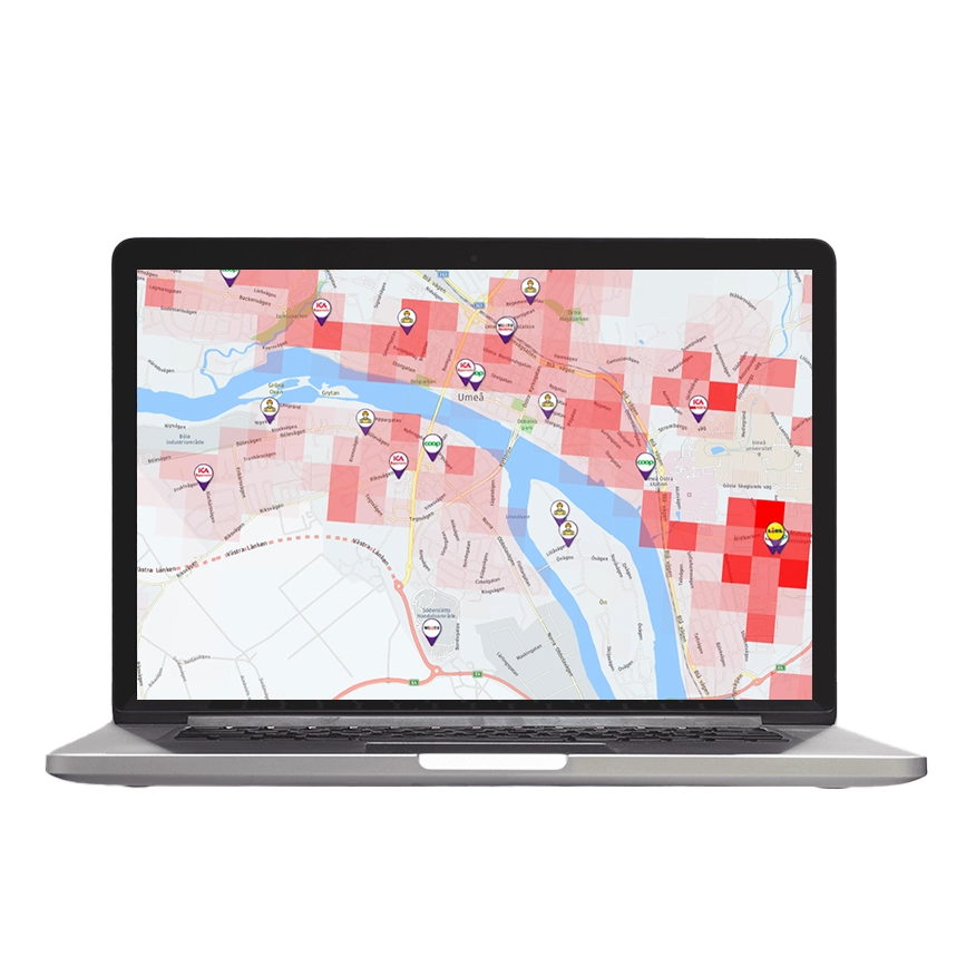
Data-driven establishment decisions and area analyses
Site Location Map is an innovative and comprehensive tool for those who want to analyze and simulate the effects of various changes in a geographical area. This tool is particularly valuable for decision-makers in retail, Food Service, and commercial real estate companies, who face complex challenges in identifying the most profitable locations for establishing or developing their operations. The tool is used just as effectively in decision-making processes around streamlining, closures, or development of existing units.
Simulation and analysis
With Site Location Map, users can simulate and analyze the effects of different changes in an area. This means exploring the consequences of opening a new store, adding a dining venue, expanding an existing retail space, or effects from new housing constructions. The tool considers how these changes can affect purchasing patterns, customer flows and turnovers.
Show more..
Identifying new opportunities
A unique feature of Site Location Map is the ability to proactively search for “white spots” or untapped potential in the market. This opens up new business opportunities by identifying areas that are not yet optimally utilized.
Benchmarking
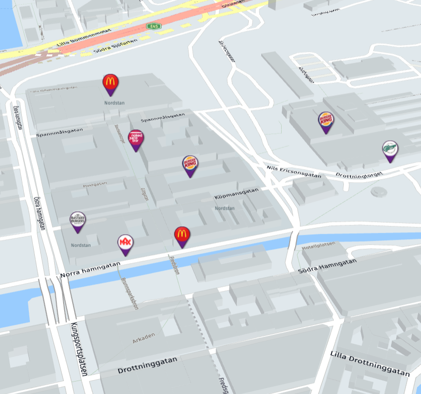
Compare potential and results within your own portfolio or against competitors’ units. In the tool, you can choose which areas you want to analyze. With the help of Site Location Map, you can develop theories and draw conclusions about how your own units are performing based on their conditions and compared to competitors in the area.
Visualize movement data
Visualize and compare data on population movements in geographical areas of interest. Through the integration of Crowd Insights for Retail from Telia, Site Location Map can identify areas with a high frequency of population movements, distributed among residents, workers, and visitors. Data is visualized so you can also identify where visitors come from and how they move on from your destination. Seasonal variations are identified, and the tool can easily produce and compare how population movements vary in an area over time.
Show more..
Integration with Prospect Mapping Dataset
The tool integrates validated data from a comprehensive dataset, such as demographic data from SCB, Crowd Insights for Retail from Telia, and data regarding ongoing and upcoming construction projects from Byggfakta, trade data from Prospect Mapping Master Data, and several other relevant data sources. This integration allows for a deeper understanding and more precise analyses. You can also add your own data to put it in context with our dataset.
Gravity Model of Retail
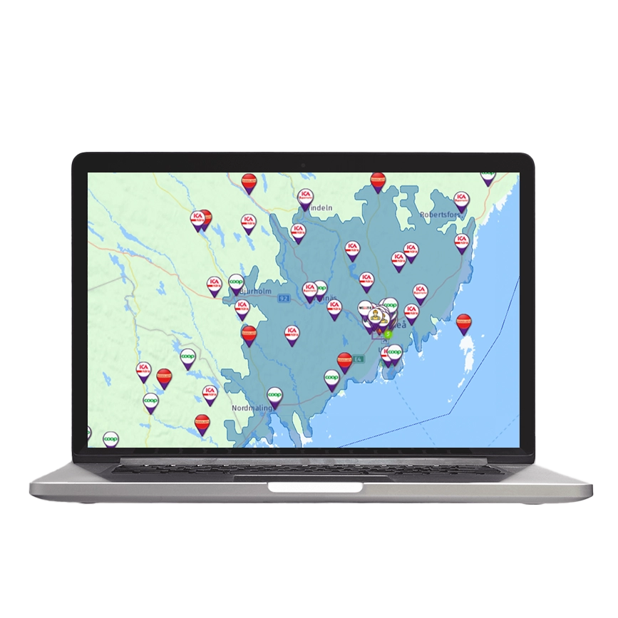
Using Gravity Model of Retail, Site Location Map can effectively predict how changes in an area will impact customer behaviors and sales potential. The Gravity Model of Retail is a theoretical model used to predict customer flows and purchasing behaviors in retail. It is based on the idea that the attraction of a retail unit, such as a store or shopping center, depends not only on its size or offerings but also on the distance to potential customers. In other words, the larger and closer a store is, the more likely customers are to choose it over other alternatives.
Show more..
Key parameters in the Gravity Model of Retail:
Attraction
The model considers that different units have varying levels of attraction based on factors like sales area, brand strength, product range, and quality of customer service.
Sales Area
Larger sales areas tend to attract more customers because they often offer a wider selection and can act as destinations in their own right.
Distance
The model assumes that consumers’ willingness to travel to a retail location decreases as the distance increases. This means that stores and shopping centers must balance being accessible and being placed where customer density is high.
Population Distribution
By using the model, Site Location Map can predict how customers (or other entities like traffic flows or demographic data) are distributed among different retail units within a certain area.
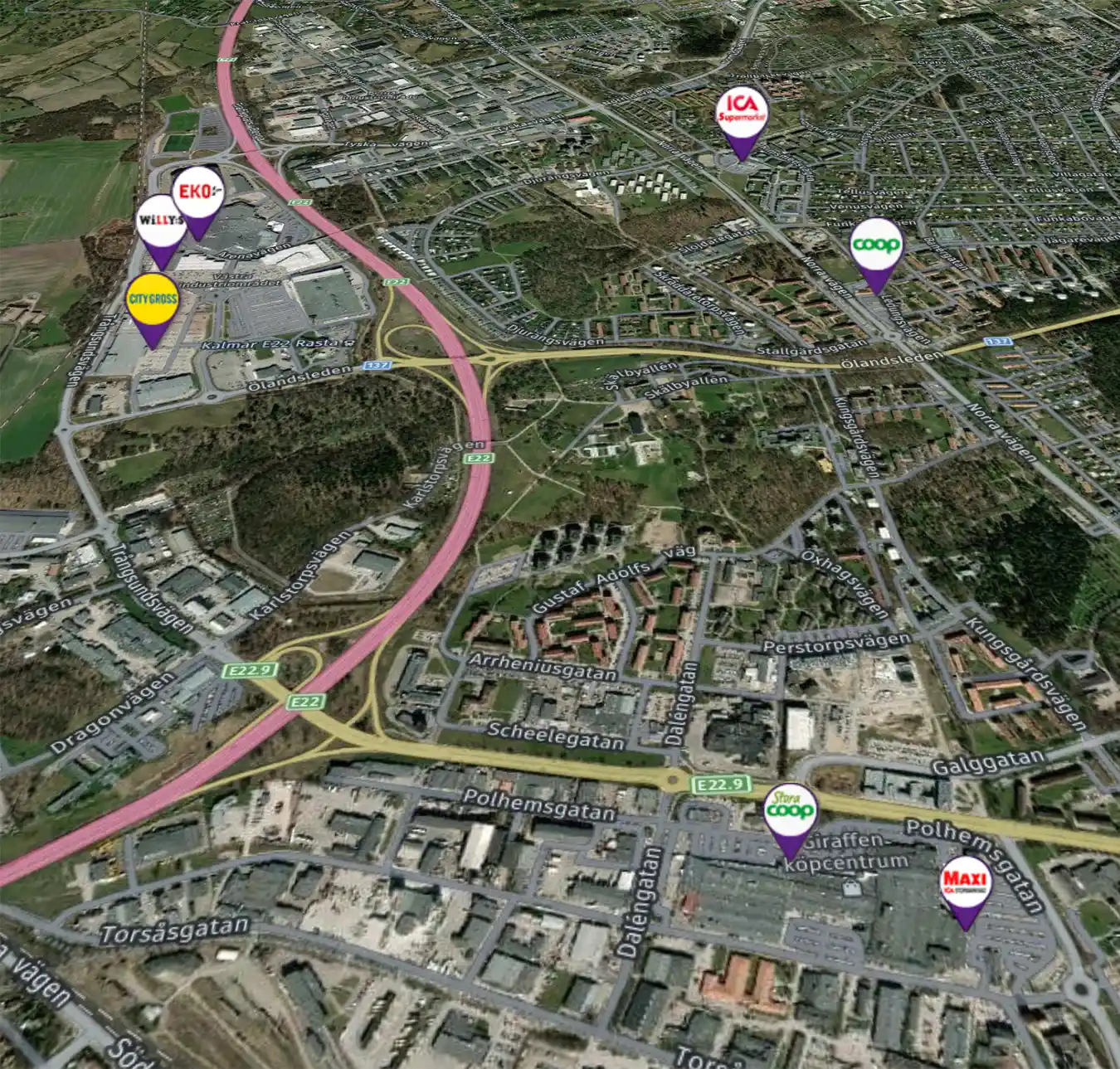
Site Location Map has several applications
Retail Planning
To determine the optimal location for a new store or to assess the potential for an existing store to expand.
Real Estate Development
To assess the market potential for new residential projects or commercial properties.
Market Analyses
To understand how changes in an area can affect consumer behaviors and market trends.
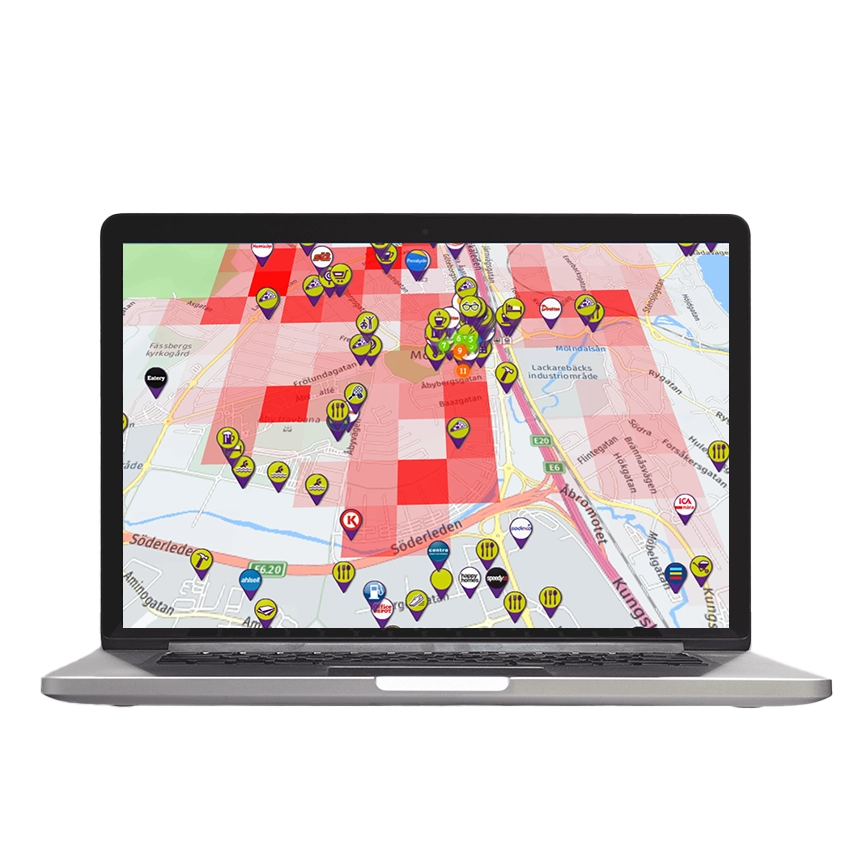
Use Site Location Map to make better business decisions
Site Location Map offers a powerful combination of data analysis, user-friendliness, and innovative technology, making it an invaluable tool for anyone looking to make informed decisions about real estate development and retail planning. By providing in-depth insights and forecasts, it helps organizations maximize their market potential and identify new growth opportunities.
Tool for Decision Makers
Several leading chains and real estate companies already use Site Location Map as a key tool for creating decision-making materials. This includes strategic decisions regarding the establishment of new units and the optimization of existing unit portfolios.
We are happy to showcase our tools
Do not hesitate to contact us if you would like to see more of our useful tools.
“Having access to all the data we need through a single partner is incredibly valuable. For us, this means that we can work in the same tool when making decisions about new establishments and how to work customer-focused with marketing and assortment, for both new and existing stores.”
Per Edstam, Expansion Manager at City Gross, one of Sweden’s leading retailers.